Rayons
Date de parution
Prix
803 résultats pour « joseph ponthus a la ligne ».

Série bleue [nouveau format], 2033SB, 2033Sb St-Yrieix-La-Perche-Lubersac
XXX
IGN – Institut Géographique National
14,10 €
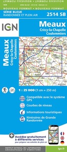
Série bleue [nouveau format], 2514SB, 2514Sb Meaux/Crecy-La-Chapelle/Coulommiers
2514 sb
IGN – Institut Géographique National
14,10 €
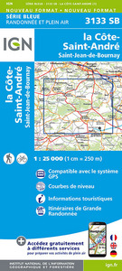
Série bleue [nouveau format], 3133SB, 3133Sb La Cote-St-Andre/St-Jean-De-Bournay
XXX
IGN – Institut Géographique National
14,10 €
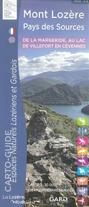
DE LA MARGERIDE AU LAC DE VILLEFORT EN CEVENNES MONT LOZERE-PAYS DES S.
XXX
TOURISME GARD
5,00 €

Top 25 : une carte, un site, 2316ET, 2316Et Milly-La-Forêt.Malesherbes.La Ferté-Alais.F
2316 ET
IGN – Institut Géographique National
14,10 €
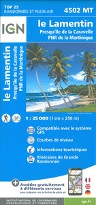
Top 25 : une carte, un site, 4502MT, 4502Mt Le Lamentin/Presqu'Ïle De La Caravelle/Pnr
XXX
IGN – Institut Géographique National
14,10 €
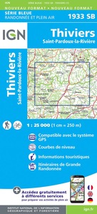
Série bleue [nouveau format], 1933SB, 1933Sb Thiviers-St-Pardoux-La-Riviere
IGN 1933
IGN – Institut Géographique National
14,10 €

ATLAS HISTORIQUE DES CHEMINS DE FER FRANÇAIS TOME 3, Grand Est - Bourgogne - Franche-Comté - Auvergne - Rhône-Alpes
LUDOVIC CLAUDEL
La vie du rail
52,00 €